Geographical Information
- Elevation
- 12,662 feet
- State
- Idaho
- County
- Custer County
- Mountain Range
- Lost River Range
- Latitude
- 44.137° N
- Longitude
- 113.779° W
Historical Information
- Named After
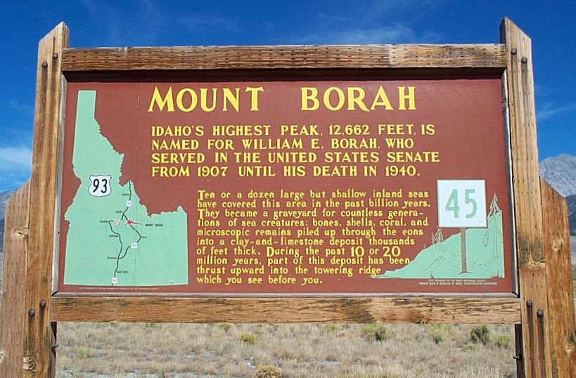
- William Borah, Idaho senator nicknamed the “Lion”
- First Ascent
- T.M. Bannon, USGS surveyor, in 1912
- Alternative Names
- Mount Borah, Beauty Peak
- Fastest Ascent
- Luke Nelson — October 22, 2010; car-to-summit in 1:26:42 and roundtrip in 2:21:11
Standard Route Information
- Popular Routes
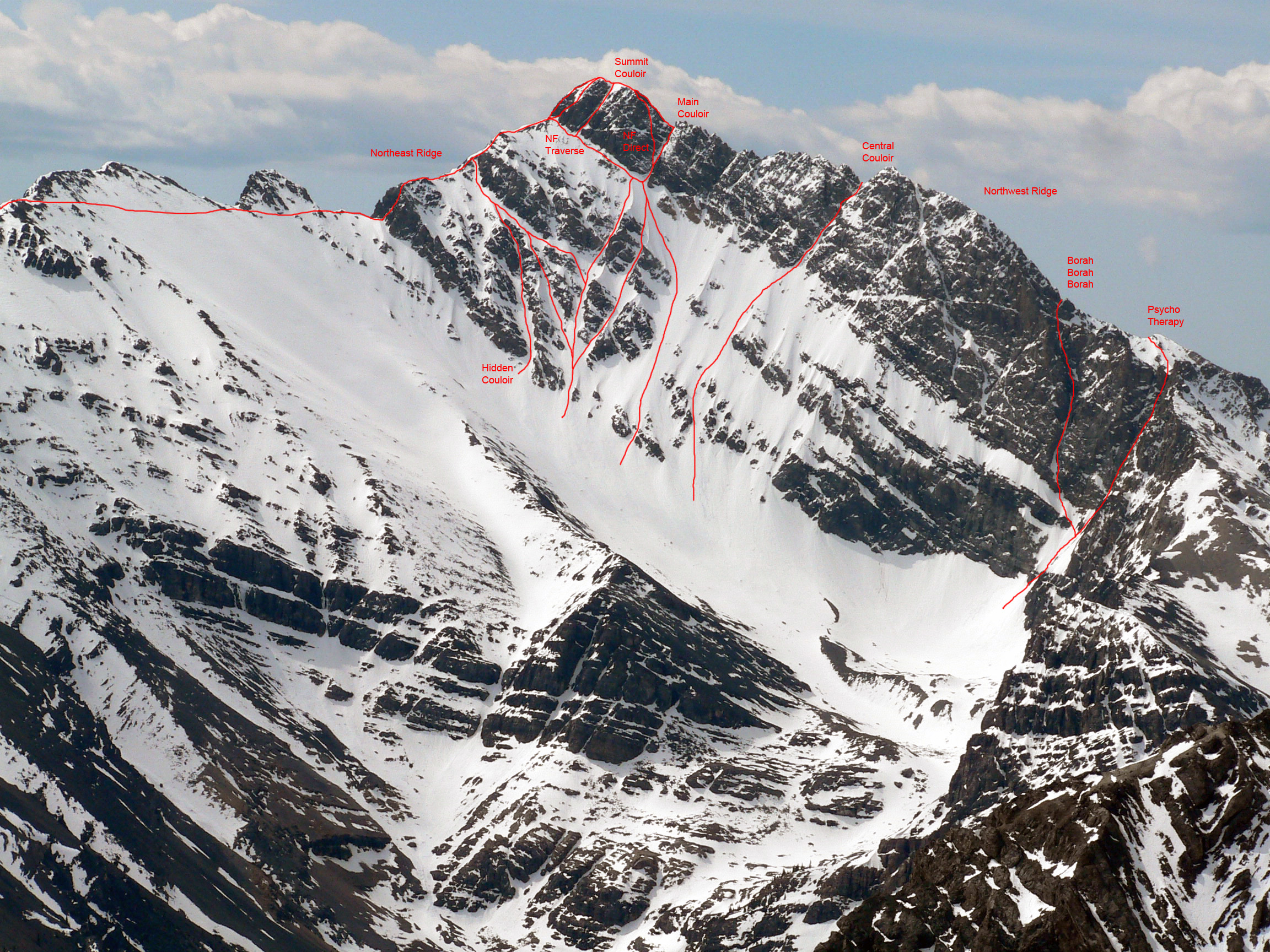
- Southwest Ridge (standard route), North Face
- Roundtrip Mileage
- 7 miles
- Elevation Gain
- 5,500 feet
- Class
- Class 3
View a topo map of Borah Peak with the route drawn on it. You can also view Borah Peak on ListsOfJohn’s topo map.
Getting There
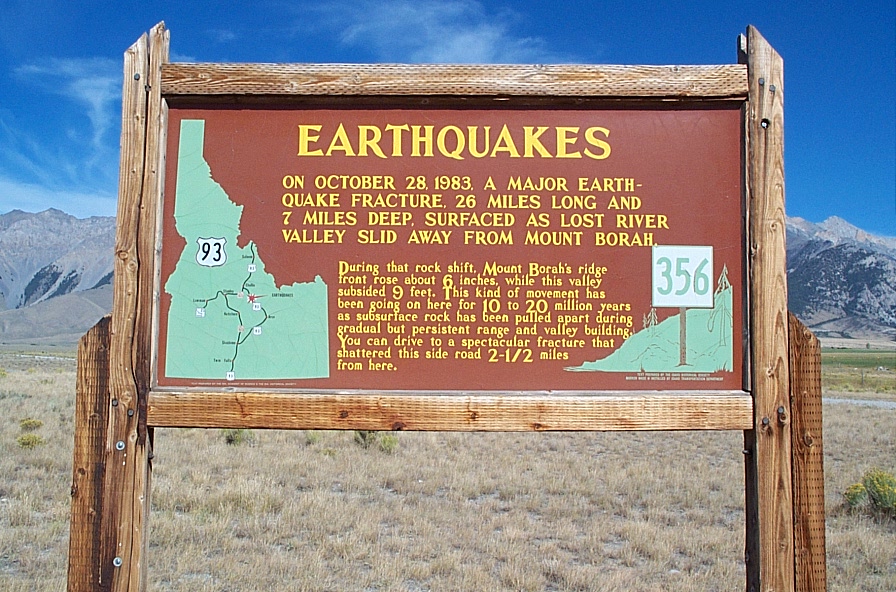
From Arco, drive approximately 45 miles north on US 93. Turn east on Birch Springs Road at the sign for Borah Peak access and follow the road to its end. At about 3.5 miles, the road turns and runs along the 1983 earthquake fault. It then passes through a patch of quaking aspens and reaches the parking lot. There are several campsites near the trailhead, ample parking and a bathroom.
Trailhead Facilities
- Camping Units
- 5
- Toilets
- 1
- Fee
- None
- Water
- None
- Trailhead Elevation
- 7,200 feet
- Typical Season
- May through November
Frequently Asked Questions
July 15 through September 15.
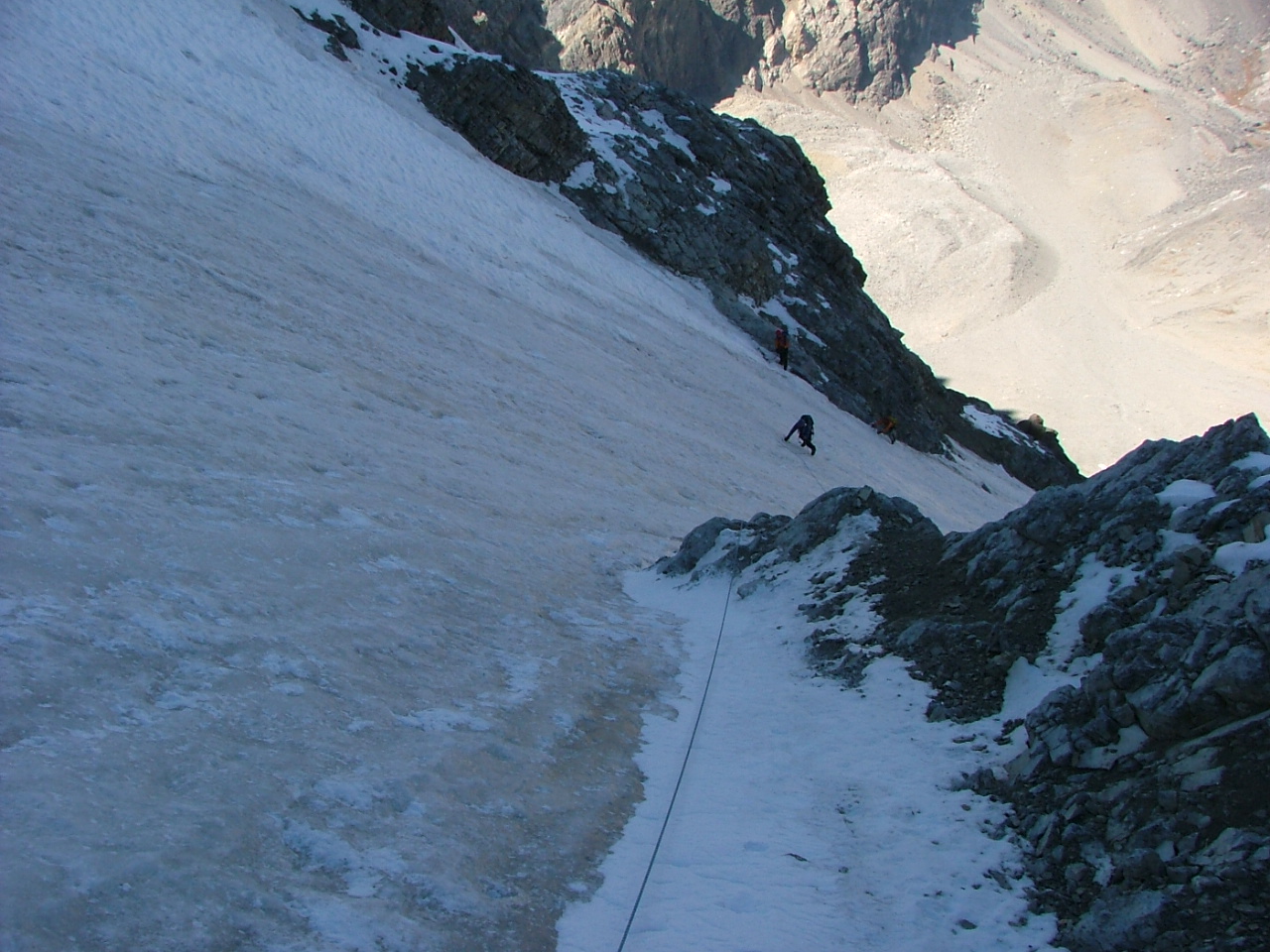
When climbing Borah outside the typical summer season, yes. Even during the summer window, an axe may sometimes be useful or necessary on the snow crossing. Conditions vary considerably from trip to trip.
Stay on the ridge. In my experience, many people get into more trouble by trying to bypass the ridge on one side or the other.
I wore full leather boots, which were useful on loose terrain but felt heavy late in the day. Others have climbed the peak successfully in trail-running shoes. Footwear choice should reflect your experience, current conditions and comfort on loose Class 3 terrain.
Have a Borah question? Ask on the Idaho Outdoors Forum or contact me.
Contact Information
Lost River Ranger District
716 W Custer
P.O. Box 507
Mackay, Idaho 83251
Phone: (208) 588-3400
Fax: (208) 588-2924
North Face Routes
Borah Fatalities
According to the Forest Service information referenced on the original page, three people have died while climbing Borah’s slopes.
- An avalanche claimed the lives of two climbers in November 1977. Read Mike Howard’s write-up of the incident.
- In 1987, Dave Probst was killed during a descent down Rock Creek after summiting Borah. The original account notes that he was unable to stop a glissade down a series of snowfields and became trapped between the third snowfield and a rock face, where sloughing snow buried him. This information was provided by Paul Wolters, who was a member of Idaho Mountain Search and Rescue along with Dave at the time.
Pictures
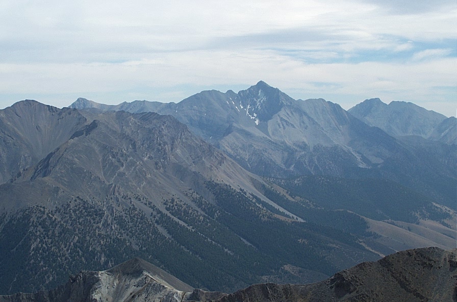
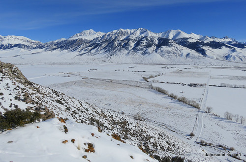
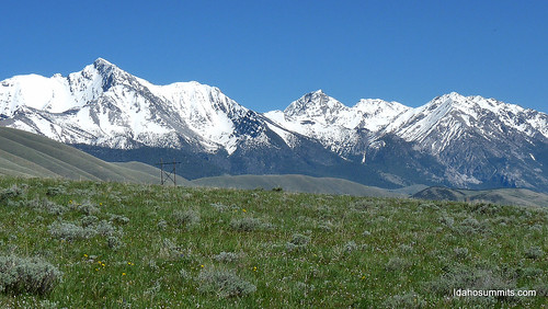
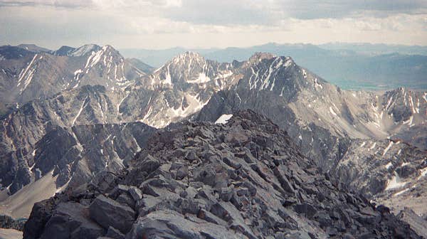
1983 Borah Peak Earthquake
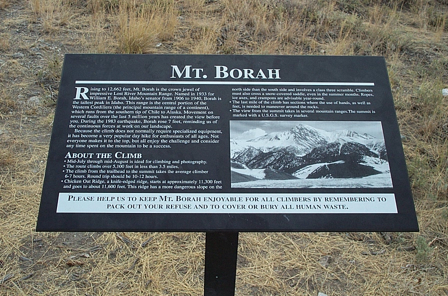
In 1983, a major earthquake occurred near the base of Borah Peak. The original page describes it as a magnitude 7.3 event and notes that the earthquake raised Borah Peak about seven feet. The fault scarp remains visible along the western side of the peak and is crossed on the drive to the trailhead.